CineWhoop cinematic videos
What is a CineWhoop Drone?
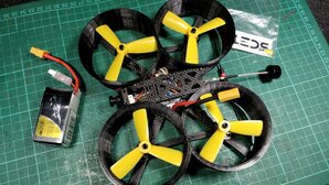
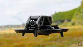
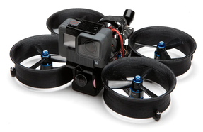
CineWhoop drones are typically small and lightweight drones characterized by ducted propellers and smooth flight. They are designed for cinematic filmmaking, particularly in tight spaces and indoors. Most CineWhoop drones are built in DIY fashion, but pre-built CineWhoops are becoming increasingly more common. See here for more.
CineWhoop drones are typically small and lightweight drones characterized by ducted propellers and smooth flight. They are designed for cinematic filmmaking, particularly in tight spaces and indoors. Most CineWhoop drones are built in DIY fashion, but pre-built CineWhoops are becoming increasingly more common. See here for more.
|
|
|
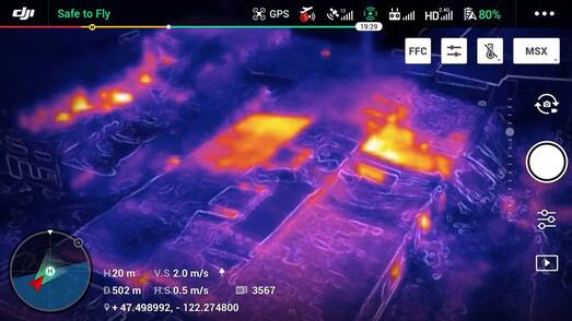
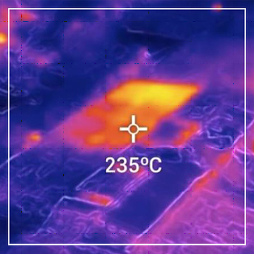
Thermal Imagery
What is Thermal Imaging?
Thermal imaging cameras effectively translate heat - that is, thermal energy - into visible light to analyze surroundings. This makes them very versatile. Living things and mechanical equipment put out heat, making them visible to thermal devices even in the dark. These cameras can be very precise, requiring only a small amount of heat to work effectively.
The Benefits Of Thermal Imaging Technology
Thermal imaging technology is used in a diverse range of applications in many industry sectors. There is an endless list of benefits of utilising thermal imaging in predictive maintenance and condition monitoring (CM), however the key benefits include: See here for more.
|
|