Solar Surveying, Panel Installation, and Inspection
In the booming—and highly competitive—solar industry, efficiency is crucial to your company’s success. Whether you install solar panels, inspect and repair large arrays, or survey land for solar farm prospecting, drone maps and models increase both safety and
efficiency. Here’s how:
Solar Panel Installation and Design
Using our Roof Report to accurately measure roofs, or generate 3D models for site planning and energy harvest estimates. Both maps and 3D models can quickly be integrated into industry software for an efficient and improved design process.
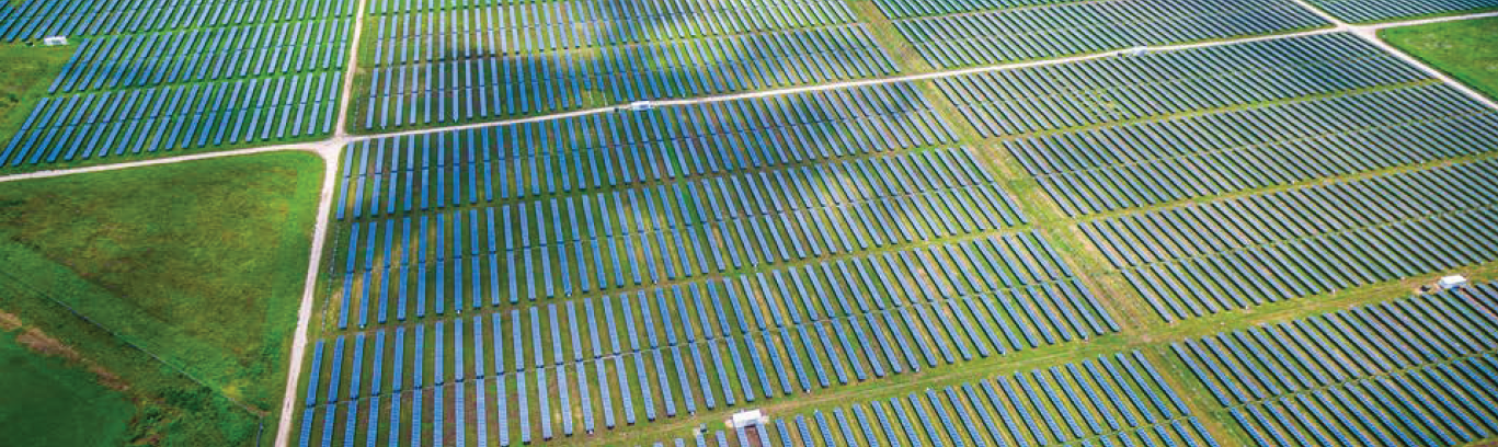
Survey Property for Solar Farm Prospecting
In the competitive world of solar farm prospecting, it’s challenging to generate purchase bids quickly. By surveying land and creating digital terrain models with drones, you can cut this process down to days, instead of weeks. The Result: faster turnaround times and a leg up on your competition.
efficiency. Here’s how:
Solar Panel Installation and Design
Using our Roof Report to accurately measure roofs, or generate 3D models for site planning and energy harvest estimates. Both maps and 3D models can quickly be integrated into industry software for an efficient and improved design process.
Survey Property for Solar Farm Prospecting
In the competitive world of solar farm prospecting, it’s challenging to generate purchase bids quickly. By surveying land and creating digital terrain models with drones, you can cut this process down to days, instead of weeks. The Result: faster turnaround times and a leg up on your competition.